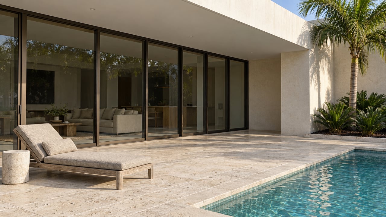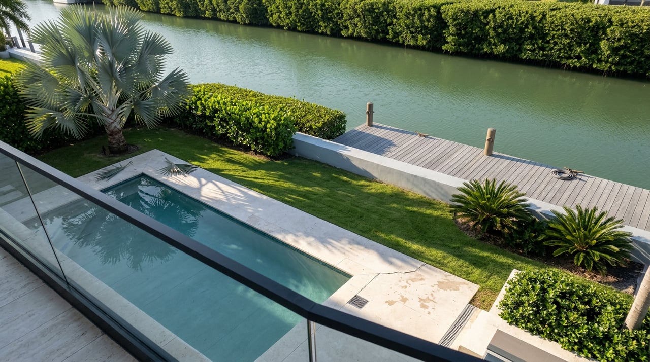
A buyer toured two Las Olas Isles listings on the same afternoon last spring, both showing 100 feet of waterfrontage, both priced within a few hundred thousand dollars of each other. On paper they read as twins. One property let a 55-foot flybridge cruiser leave for the ocean on any tide, at any hour, without checking a schedule. The other looked identical in every photo but sat behind a fixed span that caps outbound traffic at roughly 14 feet of air draft. The buyer's captain checked the numbers on a phone while standing at the seawall.
That gap is the whole story in Las Olas Isles right now. The words used to describe waterfront access here refer to two different facts about a property, and the median price you see on any portal combines two very different real estate products. If you're comparing this neighborhood to anything else in Fort Lauderdale, both of those distinctions matter more than the headline number.
Two Words, One Assumption
"Deepwater" describes how much water sits under your keel at low tide. "Ocean access" describes whether anything blocks your route to open water. A canal can be plenty deep and still dead-end at a bridge your boat can't clear. A route can be technically bridge-free and still shoal up near the mouth after a storm. Neither term implies the other, and the terms can appear together in listing copy despite describing different facts.
Most fixed bridges around Fort Lauderdale clear somewhere between 14 and 17 feet at mean high water, which is fine for a center console or a modest flats boat and irrelevant math for a sailboat or a tall flybridge. Mega yachts with masts or towers pushing past 85 to 100 feet generally stay out on the Intracoastal or anchor offshore rather than test a fixed span at all. For everything in between, the honest answer to "can I get out" depends on your air draft, the tide at the moment you're leaving, and which specific bridges sit between your dock and the inlet.
A property advertised as having no fixed bridges is making a claim about that dock's own route to the Intracoastal. It isn't making a claim about the rest of your run to Port Everglades. Boats heading out through the area still commonly cross a bascule bridge such as the SE 17th Street Causeway span, which carries a 21-foot closed clearance and opens frequently enough that it rarely slows large vessels down. That's a minor inconvenience for most owners. It becomes a real planning variable if your vessel profile is unusual, which is why verifying the route against a vessel's profile matters.
The listing tells you what the dock claims. The tide table and the bridge schedule tell you what the dock actually does.
The Setback Math Behind Usable Dockage
Waterfrontage footage gets treated as the headline spec, but it isn't the number that determines what you can actually dock. Boater's setbacks in Las Olas Isles depend on the specific parcel. That rule, not the total linear footage on the survey, sets the ceiling on vessel length.
Most original parcels in the Isles were built out in the 1940s on roughly a quarter acre, which is why the larger frontages you see on the widest streets often trace back to an owner buying two or three adjoining lots specifically to stack that extra width. A buyer comparing two 100-foot listings without asking which setback governs each one is comparing numbers that don't mean the same thing.
Canal width adds a second constraint on top of the setback. The industry guideline most captains use is that a docked vessel shouldn't exceed about 30 percent of the canal's width, both for safe maneuvering and to leave room for neighbors and passing traffic. Minimum canal widths in the Isles run in the 85 to 90 foot range on some cross streets, with the majority at 100 feet or wider and the northern canals opening up past 150 feet. An 80-foot boat technically fits the setback math on a 100-foot lot, but if that lot sits on an 85-foot canal, the vessel occupies close to its entire width, which is a workable arrangement for some owners and a daily headache for others depending on how much boat traffic that particular canal carries.
Two Markets, One Median
Here's where the reported price data stops making sense until you separate what's actually being averaged. In January 2026, closed sales in Las Olas Isles carried a median price of $4.0 million, up 12.8 percent year over year, but the median days on market jumped to 218, more than double the 100 days recorded the year before, on a thin sample of just five closings. By March 2026, active listings showed a median asking price of $6.99 million and roughly $1,329 per square foot, with typical time on market easing to 155 days. By mid-June 2026, tracked closed sales put the median back down to $4.72 million and about $1,090 per square foot, with closings still averaging around 158 days and the overall read described as a buyer's market.
Read individually, those numbers look inconsistent. Read together, they describe two products moving through the same MLS feed at different speeds. A regional analysis of Fort Lauderdale's premier waterfront enclaves covering the first quarter of 2026 found that teardown and rebuild activity in Las Olas Isles, alongside Coral Ridge, Victoria Park, and Harbor Beach, continues to push new price benchmarks upward even as roughly 70 percent of closed single-family sales citywide involved homes built before 2015, purchased primarily for their land and dock value rather than their finishes. The same analysis found single-family listings across those enclaves closing an average of 29 percent below original asking price in that quarter, with close to a third of active listings already carrying at least one price reduction.
That's the mechanism behind the wide swings in the neighborhood's own numbers. A 1940s three-bedroom on a wide canal is selling almost entirely on its dock and its dirt. A newly built estate two doors down is selling on architecture, finish level, and brand. Both transactions land in the same "Las Olas Isles" median, which is why the reported figure moves so much month to month depending on which type of sale happened to close. Neither the $4.0 million nor the $6.99 million nor the $4.72 million tells you what a specific parcel is worth. Only knowing which of the two markets that parcel belongs to does.
What This Means If You're Comparing Neighborhoods
Buyers who cross Las Olas Isles off a list because of sticker shock, or who assume any address near Las Olas Boulevard delivers the same water access, are missing the actual trade-off. West of the Intracoastal, neighborhoods with narrower canals and more fixed bridges genuinely do trade at lower price points for smaller powerboat owners, and that can be a sound value play if your boating habits don't require deepwater or bridge-free routing. But that trade-off is about your vessel, not about proximity to the Boulevard. Two addresses ten minutes apart by car can put you on entirely different sides of the setback, depth, and bridge math, and the price difference reflects that gap rather than a simple location premium.
If you're negotiating in this market, treat the setback rule, the specific bridge route, and the measured depth at mean low water as three separate line items to confirm, not one bundled assumption baked into the word "waterfront."
Before You Write an Offer
A few things worth confirming before you get attached to a specific dock:
- Request a recent measured depth at the slip itself, referenced to mean low water, not a general chart estimate for the canal.
- Confirm the setback rule for that specific parcel, since it affects usable dockage length regardless of total frontage.
- Map the actual route from that dock to open water and check every bridge on it against current published clearances and tide datum.
- Ask when the seawall and pilings were last inspected or replaced. This surfaces later in financing and insurance underwriting if it isn't addressed early.
- If you're evaluating a lower-priced, older home as a land-value purchase, confirm the buildable and dockable frontage after setbacks are applied, not just the number on the original survey.
A Few Questions Worth Asking Directly
Does "no fixed bridges" guarantee true ocean access? It describes that dock's most direct route, not every leg of every trip. Most routes out to Port Everglades still cross at least one bascule bridge that opens on signal, which is a minor factor for most vessels and a real one for taller or wider boats.
Is a longer days-on-market figure a warning sign in this neighborhood? Not on its own. It's often a symptom of a market averaging two very different products, finished trophy estates and land-value teardowns, that transact on genuinely different timelines.
Can I get more dockage than a single standard lot allows? Some of the widest frontages in the Isles exist because a previous owner purchased two or three adjoining lots specifically to combine them, which is still the most reliable way to widen usable dockage beyond what a single quarter-acre parcel provides.
Getting this math right before you make an offer, or before you price a listing, is the difference between a dock that works for your boat and one that just photographs well. If you're weighing a purchase or a sale in Las Olas Isles and want someone to walk the specific setback, depth, and bridge details on a parcel you're considering, Tyler Tuchow and the Fortune | Christie's Las Olas team work this canal system daily. Request a private consultation to talk through what a specific address actually delivers before you write the offer.
This article is general information, not legal, tax or financial advice. Consult a qualified professional about your situation.